There are not many countries I have been to where I know I was the highest person at one point. I have managed it in Guatemala and Nauru for sure. And then here in low lying Kiribati, it was easy to head to the capital Tarawa Atoll’s highest point – Eita. However, I was to learn that Banaba is actually the country’s peak, at 81 metres above sea level. Kiribati is a scattered island nation and on this trip we only visited the Tarawa Atoll, where we toured Bikinabeu, Bairiki, Betio, Abatao Island (New Jerusalem) and Eita. So if I couldn’t get to Banaba, Eita stepped in as a fun and ridiculous alternative!
Getting to Eita, the peak of Tarawa Atoll, Kiribati
Eita is a small village in Tarawa Atoll, and is located close to Bikenibeu. Bikenibeu is where we went to tour the country’s national museum. We had our excellent driver, Molly Brown from Molly’s tours. Of course you could also hire a car to get around or use the public buses but to save time and effort, just book a trip with Molly – she is excellent –
Phone: (686) 73001016
Email: mollybrown413@gmail.com
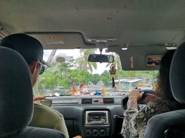
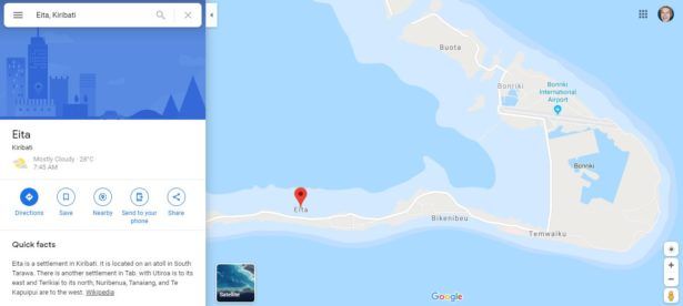
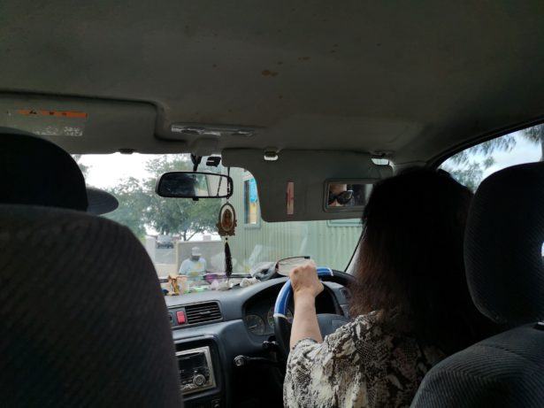
So the fact is that Molly was driving us whilst explaining all about the history of Kiribati (pronounced “Kiribass”) which was formely known as The Gilbert Islands. From the airport, or from Bikenibeu, Eita village is very close. It is just 7 kilometres from Bonriki International airport, and it’s only a kilometre from Bikenibeu. You can see the location on the map here:
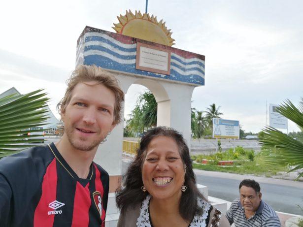
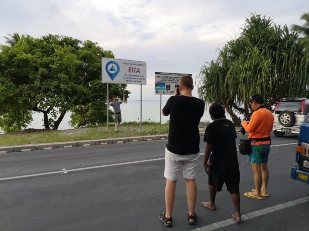
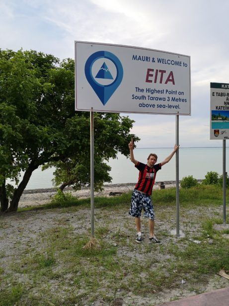
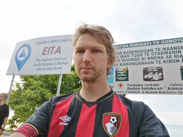
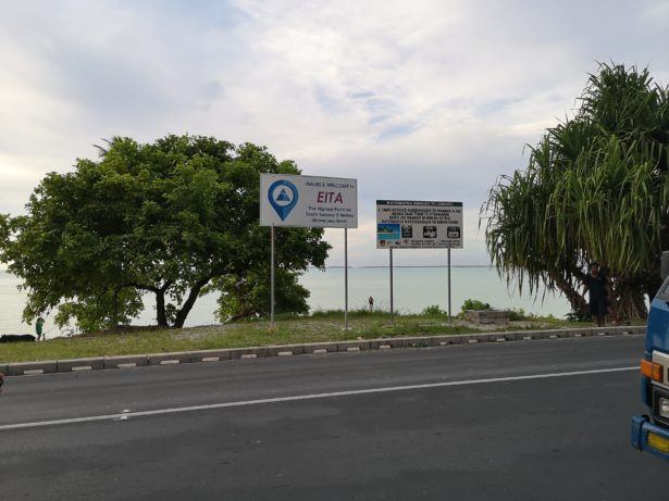
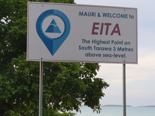
So all we did was get out of the car and walk up to the peak! It felt weird that this is the peak of Tarawa, as there were trees and buildings higher than us. When I was at the peak in Guatemala (Mount Tajamulco) and in Nauru (Command Ridge Gun), I was the highest point. My head was the peak! This felt so surreal. We got our photos of this easy glory moment and that was it. There is a marker to say that this point is 3 metres above sea level.
Here is a video from Eita, the peak of Tarawa Atoll, Kiribati:

