
Continuing on my report on the mega two day hike up to the peak of Mount Kinabalu in Borneo, day 2 was an early start! Yes, you might have read in my day 2 part 1 post that we got up at 2am to start the upward ascent – details on what to carry are in that previous post (leave some stuff in your base at Laban Rata).

The ascent to the South Peak of Mount Kinabalu.
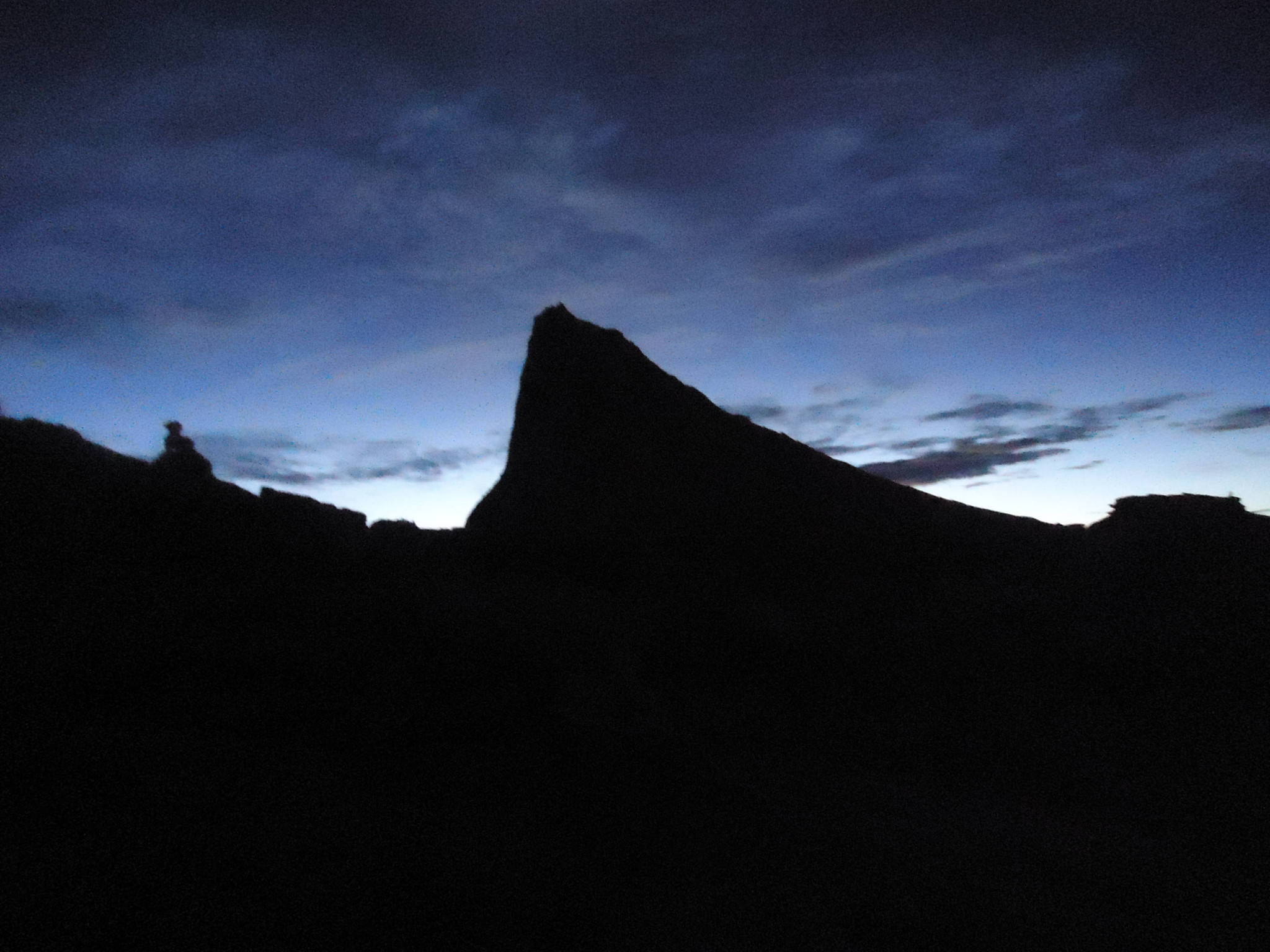
So we had made it to the 6.5km point in the last post and the aim now was to get up to the 8km mark, just beyond one of the steepest climbs on the hike. There was a bit of rope work involved on the next stretch and we really needed our torches – it was dark. Plus it was still pretty cold – we were there in early April – so take note and wrap up warm. My girlfriend had the idea to take gloves too which is a great idea. They keep you warm and give you grip as well. A hat is recommended too.
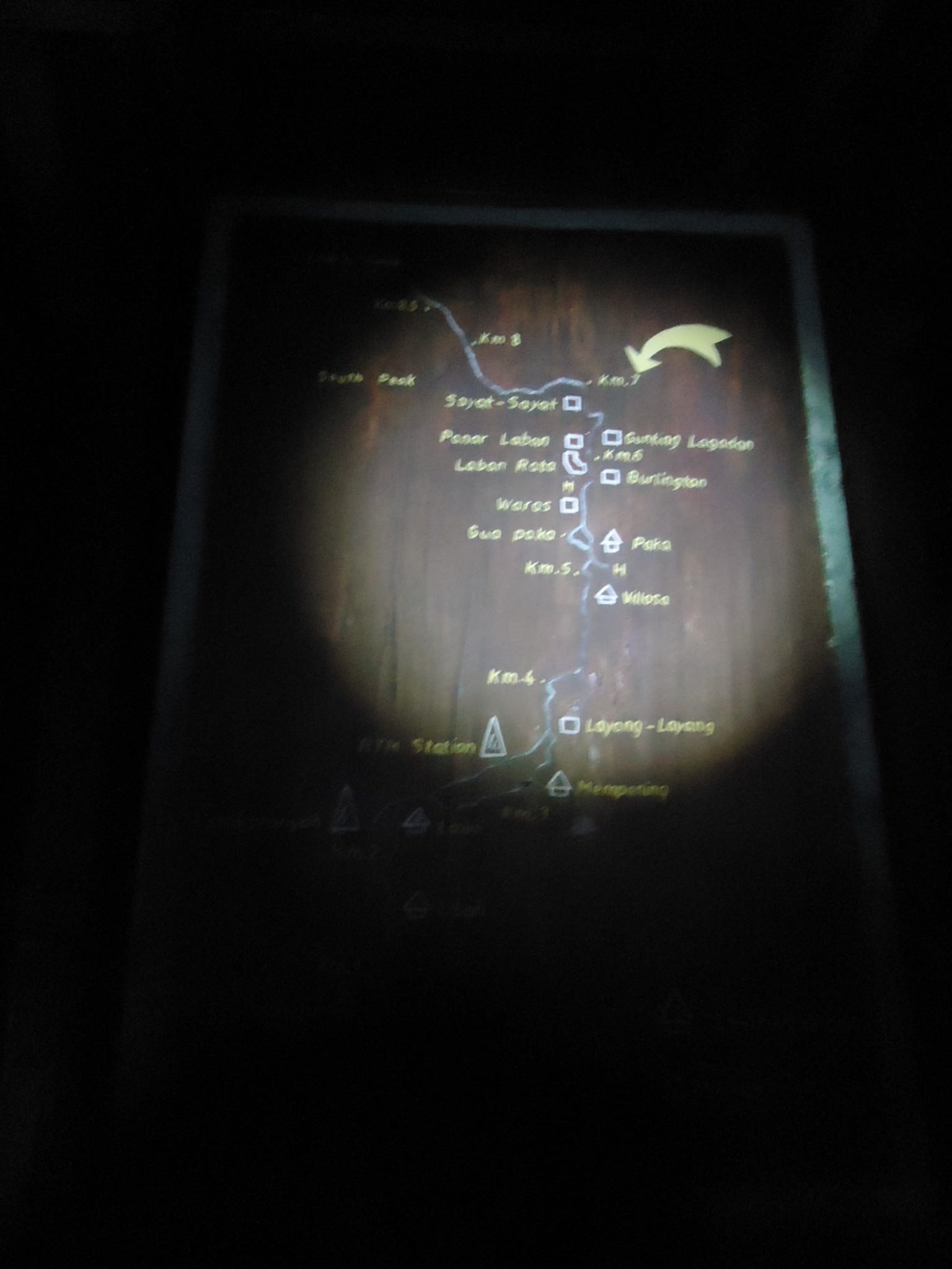
Torch shining on a map on route to the top.
Our guide Jack, stuck by us the whole way and I was really really eager to get on ahead and get to the peak before sunrise. There is a sense of a race against time. It’s better to take less rest at the start of the hike. Once you’ve got to the summit, you can rest as much as you want, and again on the way down. So take note – use your energy to get as high up as you physically can. Still have the odd water stop, but don’t overdo it. You don’t want to miss sunrise at the peak. But that’s my take on it – not everyone feels the need to catch the sun at the top – it’s an achievement just getting to the top anyway.
The ascent up Mount Kinabalu in darkness.
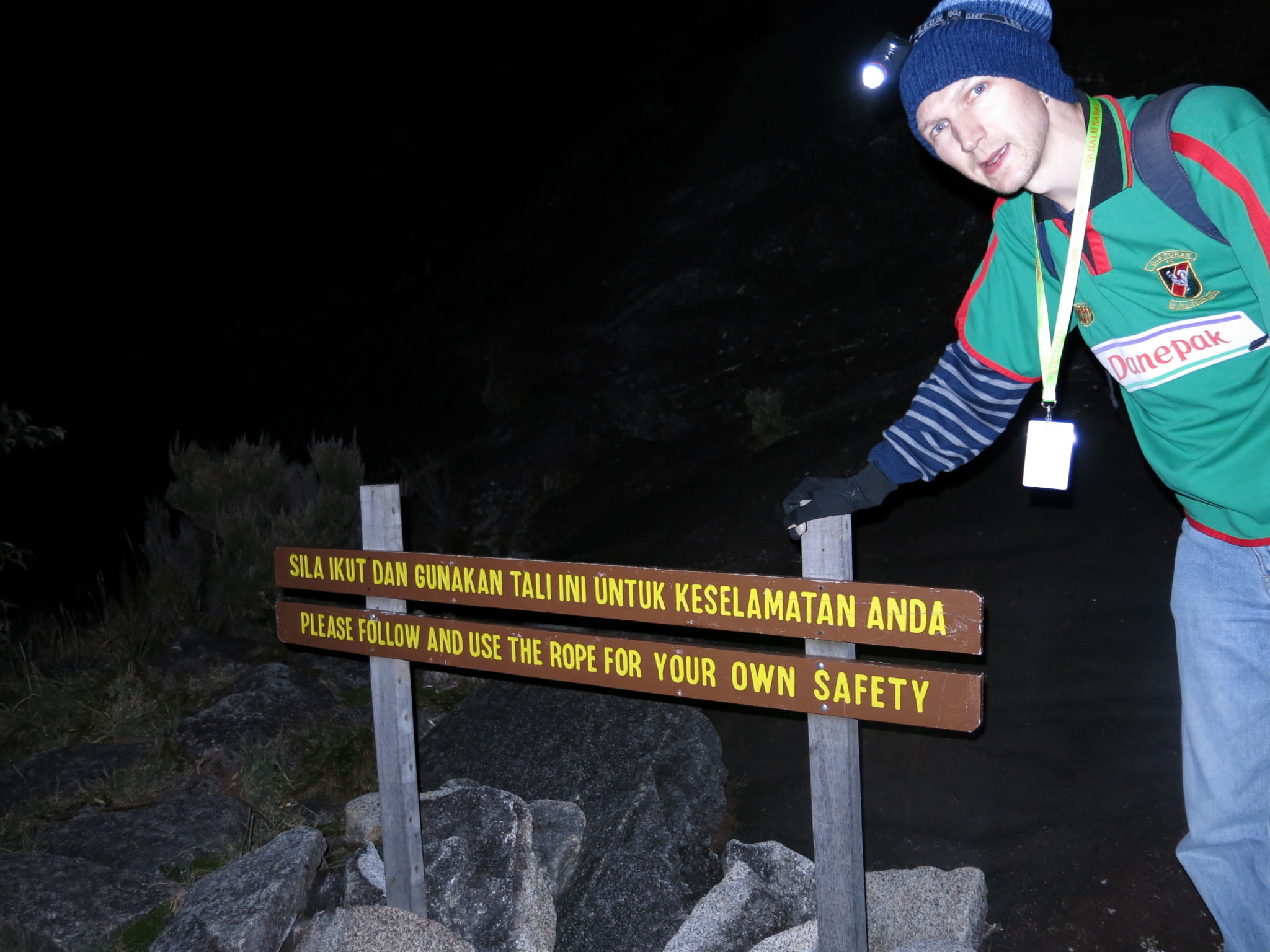
There is a message at the rope section that warns you in English and in Malay that you should follow and use the rope for your own safety. Travel and health and staying safe on the road are very important so I will stress that parts are steep and it’s important to use the rope and stay safe. That said, the hike up isn’t as tough as you first thought. We were making good time in fact.
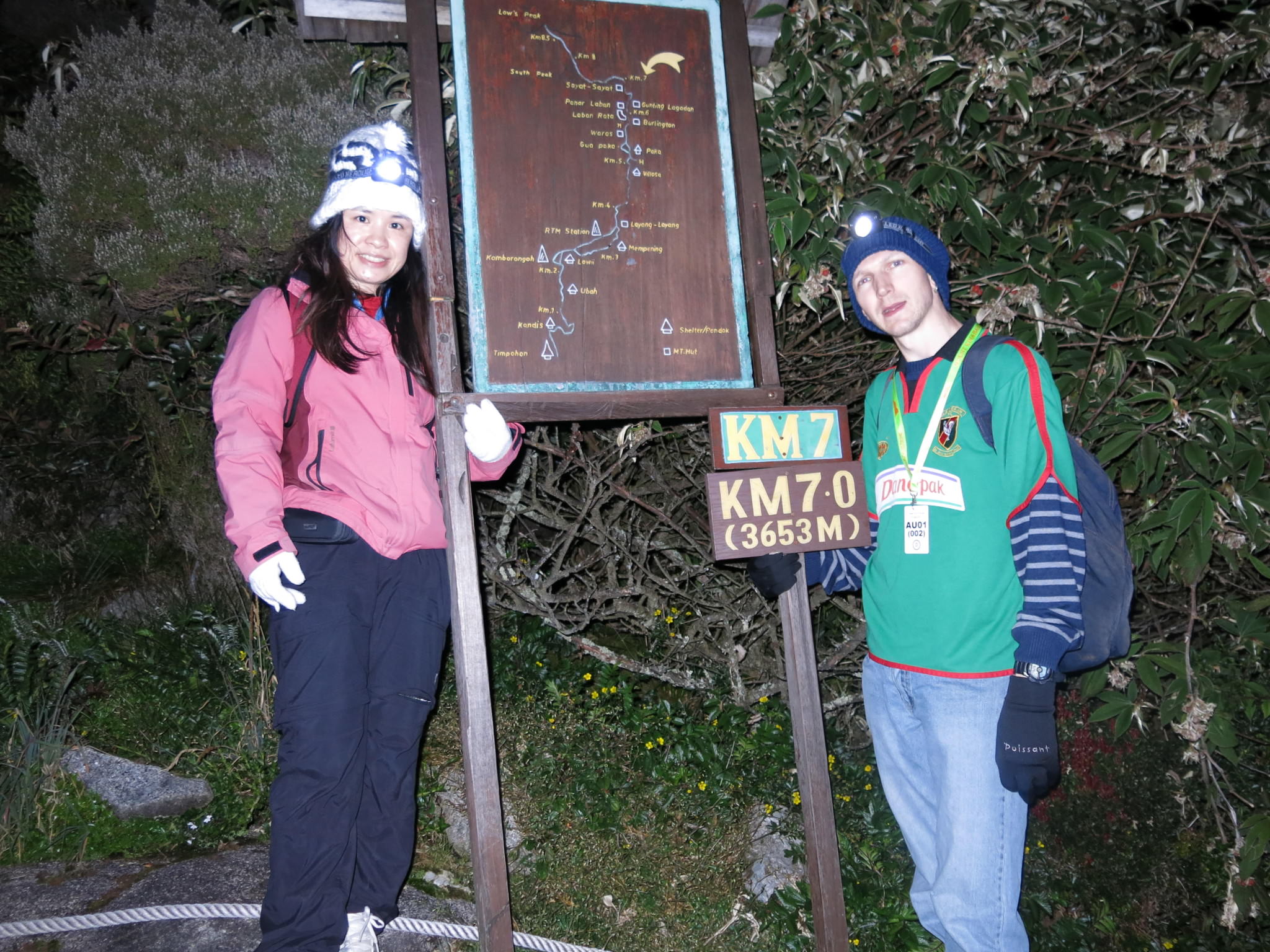
Feeling pretty good and on schedule as Panny Yu and I make it to the 7.0 Kilometre mark, still in complete darkness.
We made the 7.0 kilometre mark around 4am and sometime around 5am we had arrived at the “massive plain on the part of the peak”. I don’t quite know how to describe this bit – it’s basically the top of the mountain but it is pretty flat and has about 5-6 other peaks going up from it. Hard to describe but once you get onto this bit, you know you’ve made it and you’ll reach the peak. You can see the peak from here and by that I mean the main peak – known oddly as Low’s Peak (the word Lows in the title really confused me).
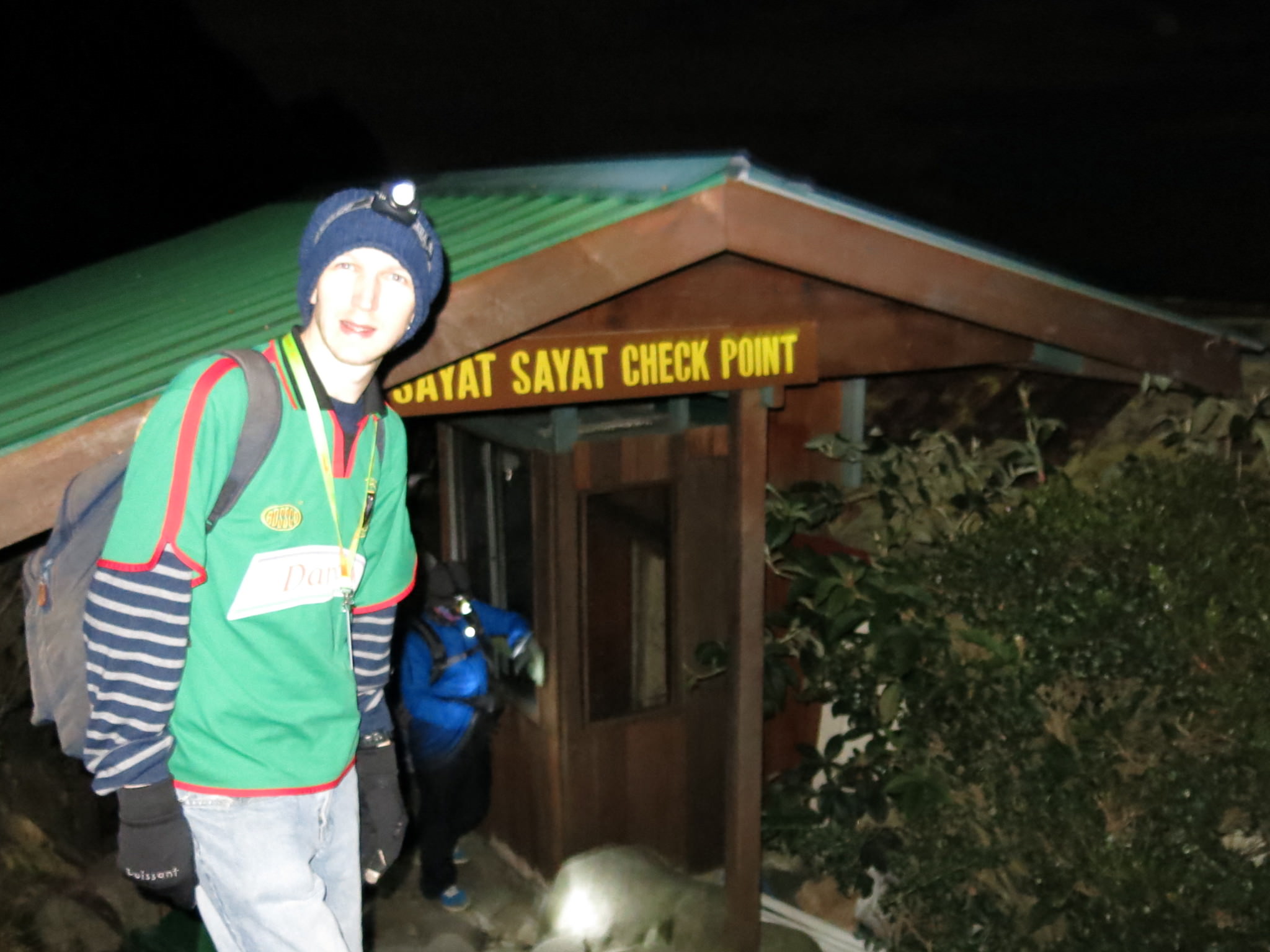
At the Sayat Sayat check point.
Before reaching that though, you will come to a check point where you sign in and they check your name etc. All fairly standard and in the interests of health and safety of course. It’s called the Sayat Sayat check point.

Flying the Northern Ireland flag pre sunset and still in darkness at the 8kilometre mark for climbing Mount Kinabalu in Borneo.
Not long after this you reach a marker for the 8.0 kilometre point. This is the breather, this is the point where you know you have made it. Looking around you, you can see all the “peaks” of Mount Kinabalu. It is a mountain with lots of different paths going up even at the top.
Pre sunrise and our first view of Low;’s Peak. Mount Kinabalu, Malaysia, Borneo.
It was pleasing to reach the 8.0 kilometre mark, and it was 5:38 am when we got there. Sunrise was due to be around 6.30 am we were told so we were well on course now! We had reached the point where you can walk easily to the South Peak (the number of “peaks” on Mount Kinabalu does get confusing) but we set our eyes on Low’s Peak, which is the REAL peak – i.e. the highest point on the mountain.
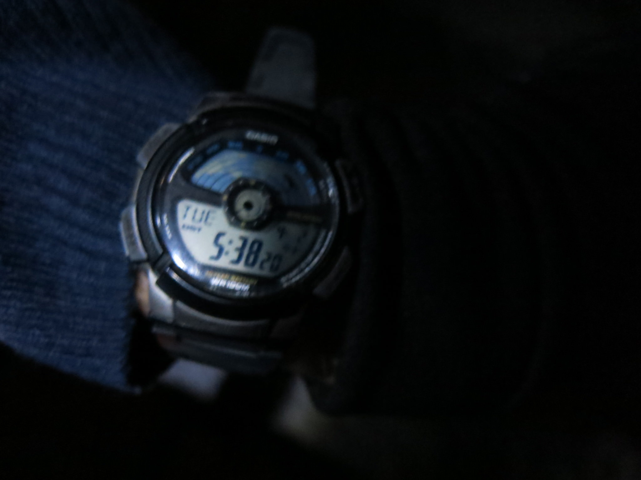
5.38am was the time when we reached the 8.0 Kilometre mark.
Here are my videos from climbing Mount Kinabalu on the second day, including getting to the 6.5 kilometre mark and arrival at the 8.0 kilometre point:


Arrival at Sayat Sayat Check Point on the Mount Kinabalu hike:

Just passed the 8.0 kilometre point:

Lows Peak stands for Sir Hugh Low.. The British tyrant who enslaved Borneo people back in early 1890s.
Wiki: Hug Low
kidding about the tyrant part 😉
Thanks for the update Famil! Safe travels. Jonny